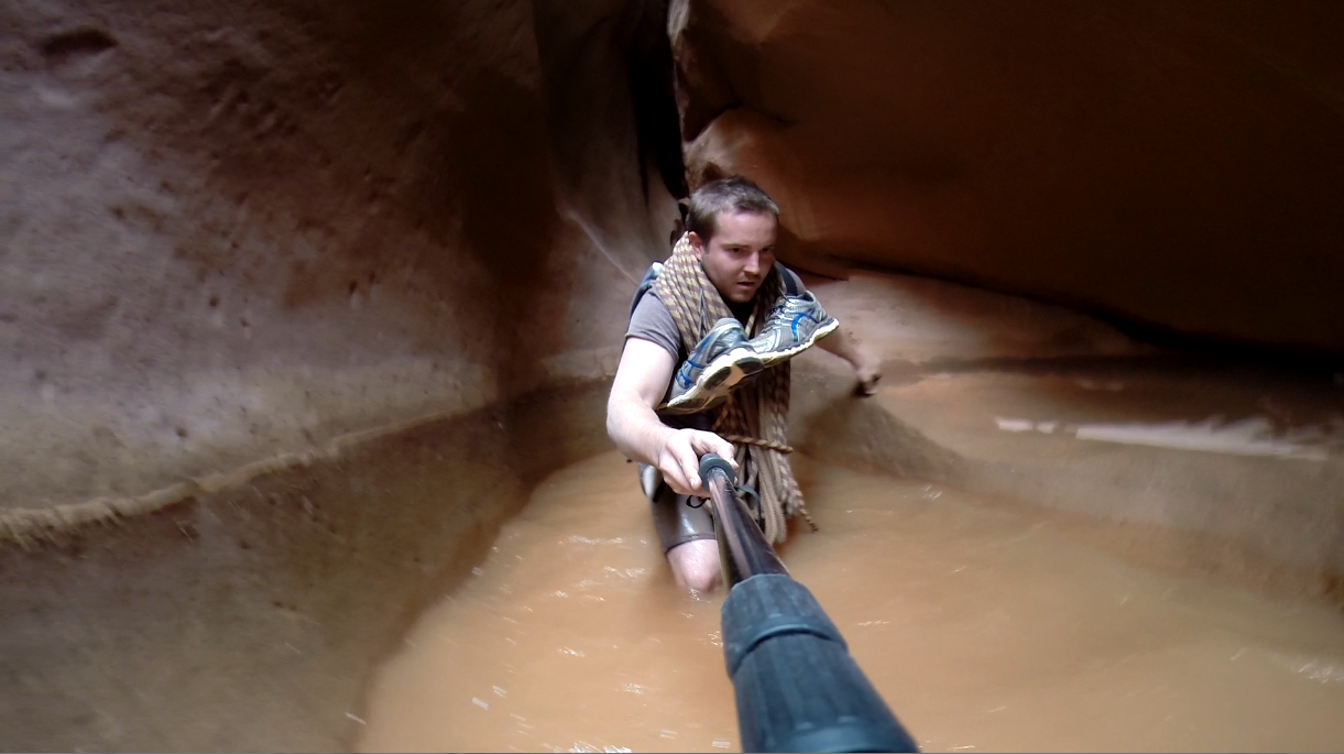
Lake Las Vegas was the venue this year for World's Toughest Mudder. A lot of people were excited for the warmer weather and milder conditions, myself included and boy were we mistaken.
Hot weather during the day on Saturday made it tough to stay hydrated, and when the sun went down it got cold and windy. Very windy. 45 mph winds mixed with the dry desert terrain made for quite a sandstorm. My tent collapsed but luckily I had enough gear and rocks holding it down that it didn't blow away. It was so cold with the wind chill that as soon as I got out of any water obstacle where my head went under I got a brain freeze even with a full wetsuit and 5mm hood. Just the wind blowing on my nose and forehead was enough to freeze my head.The sandstorm made it difficult to breathe so I put a bandanna over my nose and mouth, but it also made it difficult to see so I wish I had brought clear swim goggles. When the sun came up in the morning it was definitely a big morale boost but it didn't get much warmer and was still windy. 
Preparation:
This year I did a lot of longer sustained exercise for my training. I would try to exercise for an hour or two every night of the week and I would do one long training run on the weekend. I would go for a trail run or hike and stop every five minutes to do some exercise to simulate an obstacle. My longest training run before the race was a 45 mile hike in 16 hours running 5 minutes out of every hour and obstacle simulation every 5 minutes.

Race Breakdown:
I walked the first five laps at a pretty good pace with very limited rest between laps. I would stop to eat a peanut butter sandwich or muffin, drink a gatorade, and eat a can of fruit. As you can imagine I was very full but it paid off later because I had a lot of energy through the night and into the morning. I was just wearing running shorts and a running shirt for the first four laps. I changed into a half wetsuit before my fifth lap as it was getting cold, and it wasn't enough. I changed into my full wetsuit after my fifth lap and put on my neoprene socks, gloves, and hood. Laps six and seven were pretty comfortable as far as my core temperature but then it started to get very windy and very cold. I got back to my tent after lap seven and it was completely collapsed. I didn't even try to set it back up. My food was close to the door so I reached in, got some gatorade and a dehydrated backpacking meal. It was nice to get something warm into my body and definitely gave me some morale to get out there and get a few more laps in. After lap eight I had another muffin and can of peaches. After lap nine I had a cup of noodles. After lap ten I was hitting the wall. I went back to my tent, set it back up, took off my wetsuit, dried off, and got in my sleeping bag. I had a bunch of hand warmers with me in my sleeping bag and after half an hour I had stopped shivering and was starting to warm up. By this time the sky was starting to get light so I dug deep, put my other dry half wetsuit, and headed out for maybe another lap or two. On that 11th lap I was starting to feel a second wind. I started running the flat and the downhill and I finished in an hour and seventeen minutes. After that lap I was doing the math and realized if I kept up that pace I could start my 14th lap just before the cutoff and hit that 70 mile mark. I grabbed a gatorade out of my tent and chugged it on my way across the starting line. I finished my 13th lap at 9:56 am and just kept running and started that last lap at 9:59. Now all I needed to do was finish that lap before noon. I was still feeling strong on that lap and finished at 11:32 am. I didn't think that I needed a pit crew, but after seeing all the help the other athletes were getting I realized how nice it would be and how much time it would save between laps. Also cleaning up my pit area after and taking two trips to and from the parking area half a mile away seemed harder than completing another lap.

Clothing List:
running shorts x2
running shirts x2
short sleeve compression shirts x2
long sleeve compression shirts x2
compression shorts x2
compression leggings x2
runnings socks x5
mesh back running hat
sunglasses
running shoes x2
2mm shorty wetsuit x2
3/2mm full wetsuit
tall neoprene socks x4
3mm long neoprene gloves x2
5mm neoprene hood
swim cap
bandana
Gear List:
9'x7' 4 person tent
10'x8' tarp
camp chair
sleeping bag
space blanked
space sleeping bag
18 hour hand warmers
first aid kit
towels x5
towels x5
athletic tape
duct tape
vaseline
sunscreen
baby wipes
waterproof headlamp x3
strobe flashers x3
foam roller
Food List:
peanut butter
loaf of bread
blueberry muffins
canned peaches x3
canned pears x3
cup of noodles x3
dehydrated backpacking meals x2
24 ounce gatorades x16
Course Breakdown:
There were 26 obstacles depending on how you count it.

1. Walk through a muddy swamp

2. Crawl under tight net over three rows of tires
3. Mud Mile
4. Inverted Wall climb
5. Vertical Wall climb
6. Vertical Wall climb with rope
7. Guess the weight
8. The pit

9. The Birth Canal - army crawl under tarp full of water

10. Island Hopping
11. Underwater Barrels or Statue of Liberty at Night

12. Everest


13. The Grappler
14. Abseil - climb down a cliff using a rope

15. The Liberator - angled peg board


16. More Island Hopping

17. Swim and Slippery Wall

18. Ladder to Hell
19. Pipe Crawl


20. The Gamble - roll for a free pass or a choice between
electoshock and uphill barbed wire crawl


21. The Swinger - jump to the handle, swing to reach the bell
22. Pipe Crawl

23. Grabbin' Shaft - monkey bars to trapeze swing to pipe traverse

24. Sewage Drop - barbed wire crawl to uphill pipe crawl drop into water

25. The Cliff
26. Cargo Net Climb

A big thanks to TMHQ for putting this all together. Thanks to all of the volunteers who were out there at the obstacles and aid stations all through the day and night. And a special thanks to all the competitors out there who lent a hand on an obstacle or were kind enough to have a conversation along the course in the middle of the night to help keep me sane. I couldn't have done it without you.